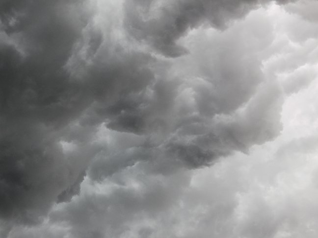
Cold air is dense. It hugs the ground and flows toward and into less dense warmer air. Warm air can accumulate a great deal of moisture, especially when hanging around over Lake Michigan. When a rapidly moving cold air mass slides into a stationary warm moist air mass, the warm air rises and cools. Since cold air can hold less moisture, the rising cooling warm air mass's moisture begins to condense into water droplets forming dense dark clouds and heavy rain. If the upper atmosphere winds are moving in a different direction than the cold air mass flowing beneath, the rising warm moist air can begin to rotate forming an horizontal tube of swirling air called a mesocyclone. Sometimes a secondary lower denser darker rotation can form beneath a mesocyclone. Such a rotating wall cloud can tilt and touch down wreaking immense devastation with winds that may exceed 300mph, a tornado. This particular storm spawned two tornadoes within 30 miles of where this picture was taken. Damage was minor, but not everybody has been as lucky more recently. When Mother Nature is talking, it is wise to pay attention. We flourish within a very narrow range of conditions. When any of those conditions change, our ability to adapt can be severely challenged. It is not beyond Mother Nature's capacity to extinguish us. Her message? No sacrifice in honor of is necessary. Just learn to pay attention and play nice. |
• Posted: Jul 02, 2008 19:26:51
• Comments Welcome
• Purchase a Print
Thursday, August 23rd, 2007 Bridgman MI USA |